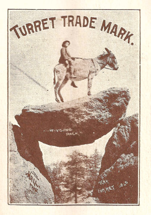
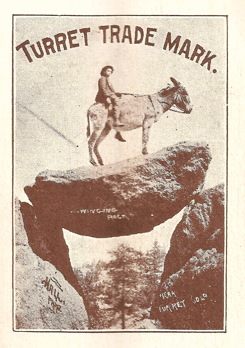
Swinging Rock has been a tourist attraction in Chaffee County for years. The random geological occurrence seems to defy the laws of nature and provides a great view as well.
Just outside the former ghost town of Turret, a short and slightly strenuous hike will get you to the rock; and if you happen to have a burro in tow, you might even be able to reproduce the iconic postcard image show here.
 To get there (by car, burro or bike), you need to get on Chaffee County Road 175, also known as Ute Trail. From Colo. Highway 291, go just north of Salida city limits and turn right (east) onto County Road 153. Cross the Arkansas River and turn right on C.R. 175. Soon the fun begins as the road becomes dirt and gravel and begins twisting up into the Ark Hills. Eventually you will need to make a left onto C.R. 184, which will take you to the townsite of Turret (not recommended for low-clearance vehicles). Once in Turret, turn right on Turret Avenue. and make your first left onto North Spring Street. Go up a short way and look for the old wooden sign for Swinging Rock on the right-hand side. You can park here. A vague trail takes you up into the rocks and woods behind the sign. There are a few cairns to mark the way once you begin to ascend into the woods. Swinging Rock is less than a mile up the trail.
For the more adventurous, continue up North Spring Street and you will eventually be on the Turret Trail, a four-wheel-drive road which leads into the Browns Canyon Wilderness Designation area. – By Mike Rosso
Have a suggestion for our ‘Places’ column?
Please contact us at 719-530-9063 or email us at
cozinemag@gmail.com


