Photo and story by Kenneth Jessen
The Denver & Rio Grande Railroad reached La Veta Pass in 1877 on its way westward into the San Luis Valley. At 9,390 feet, it was the highest railroad pass in the United States at that time. A stone depot was constructed at the pass along with other railroad facilities. A small community grew consisting mainly of railroad workers and their families. When conversion from narrow gauge to standard gauge was taking place over much of the system, the railroad elected to construct a new line over Veta Pass south of La Veta Pass. This eliminated sharp curves and heavy grades on the original line. In 1899, the segment over La Veta Pass was abandoned, and the rails were removed a few years later.
The narrow gauge roadbed was converted into the main highway between Walsenburg and Alamosa. The town of La Veta Pass, locally known as Up Top, became a popular stopping place, with facilities such as the Lone Pine Inn. It had a post office from 1904 to 1911. When U.S. Hwy. 160 was constructed to the north in the late 1950s, it bypassed the small community.
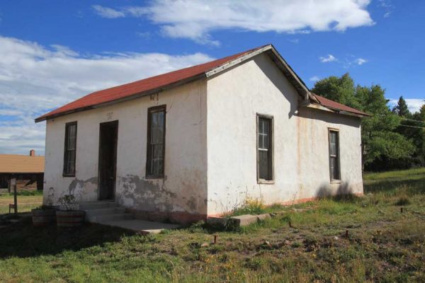
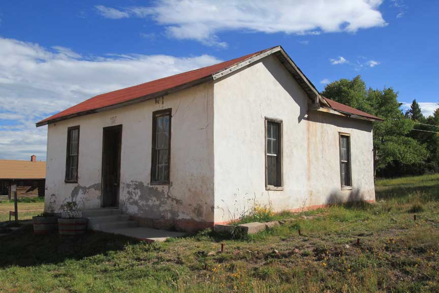
 Today the depot and school, as well as the Lone Pine Inn, remain standing. There is an occupied home and across the street a store that advertises ghost town tours during the summer. There are four other abandoned buildings, and west of the community is a private cemetery.
To reach La Veta Pass, take Costilla C.R. SS from Hwy. 160. It intersects the highway on both sides of the pass, making a nice side trip in either direction. C.R. SS is a graded dirt road suitable for automobile travel, but it is not well maintained. There can be rough sections.
NOTE: Due to errors in some books, there has been quite a bit of confusion over La Veta Pass versus Veta Pass. A United States Geological Survey map will quickly straighten this out. La Veta Pass is to the north and was the route of the narrow gauge railroad. Hwy. 160 passes over North La Veta Pass. Veta Pass, on the other hand, is to the south and is presently used by the Rio Grande Scenic Railroad.


